Department of Remote Sensing and Photogrammetry, Finnish Geodetic Institute, Masala 02431, Finland.
Sensors (Basel). 2014 Jan 10;14(1):1228-48. doi: 10.3390/s140101228.
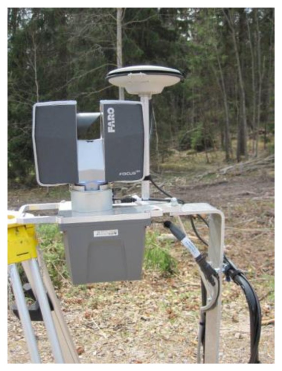
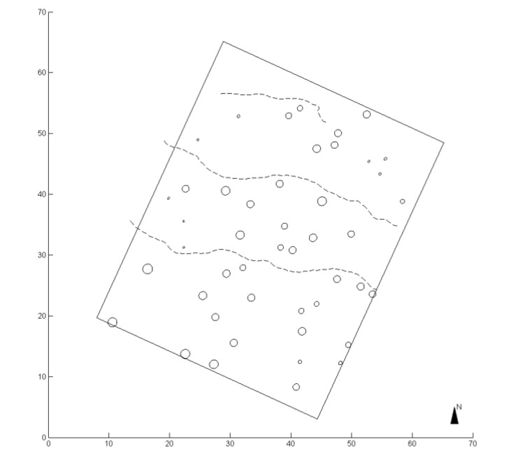
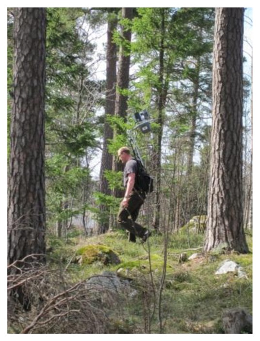
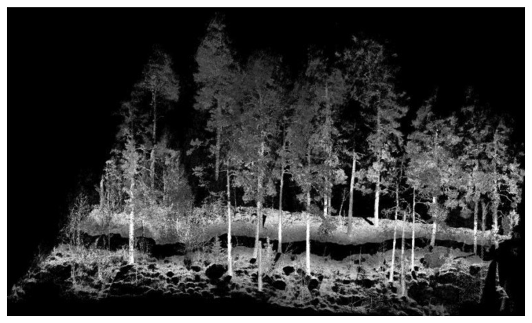
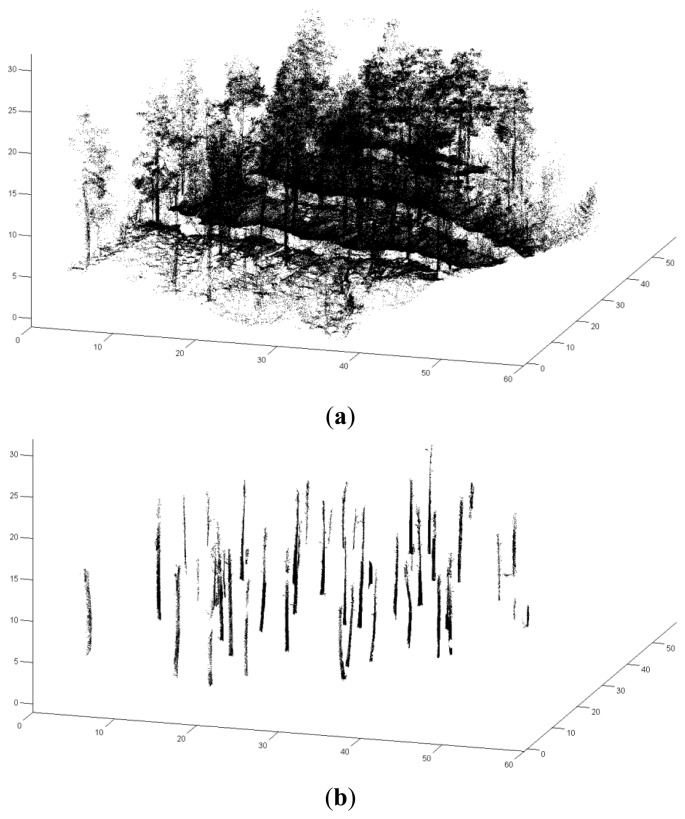
A professional-quality, personal laser scanning (PLS) system for collecting tree attributes was demonstrated in this paper. The applied system, which is wearable by human operators, consists of a multi-constellation navigation system and an ultra-high-speed phase-shift laser scanner mounted on a rigid baseplate and consisting of a single sensor block. A multipass-corridor-mapping method was developed to process PLS data and a 2,000 m2 forest plot was utilized in the test. The tree stem detection accuracy was 82.6%; the root mean square error (RMSE) of the estimates of tree diameter at breast height (DBH) was 5.06 cm; the RMSE of the estimates of tree location was 0.38 m. The relative RMSE of the DBH estimates was 14.63%. The results showed, for the first time, the potential of the PLS system in mapping large forest plots. Further research on mapping accuracy in various forest conditions, data correction methods and multi-sensoral positioning techniques is needed. The utilization of this system in different applications, such as harvester operations, should also be explored. In addition to collecting tree-level and plot-level data for forest inventory, other possible applications of PLS for forest ecosystem services include mapping of canopy gaps, measuring leaf area index of large areas, documenting and visualizing forest routes feasible for recreation, hiking and berry and mushroom picking.
本文展示了一种专业级的个人激光扫描 (PLS) 系统,用于采集树木属性。该应用系统由多星座导航系统和安装在刚性基板上的超高速相移激光扫描仪组成,由单个传感器模块组成,可由操作人员穿戴。开发了一种多通道映射方法来处理 PLS 数据,并在测试中使用了 2000 平方米的森林样地。树干检测精度为 82.6%;胸高处树径(DBH)估计的均方根误差(RMSE)为 5.06 厘米;树木位置估计的 RMSE 为 0.38 米。DBH 估计的相对 RMSE 为 14.63%。结果首次表明了 PLS 系统在大型森林样地测绘中的潜力。需要进一步研究在不同森林条件下的测绘精度、数据校正方法和多传感器定位技术。还应探索该系统在收割机作业等不同应用中的应用。除了收集森林清查的树木级和样地级数据外,PLS 用于森林生态系统服务的其他可能应用包括树冠空隙测绘、大面积叶面积指数测量、记录和可视化适合娱乐、徒步旅行和浆果和蘑菇采摘的森林路线。