Tasantab Jerry C
School of Architecture and Built Environment, University of Newcastle, Callaghan, Australia.
Kwame Nkrumah University of Science and Technology, Kumasi, Ghana.
Jamba. 2019 May 6;11(1):638. doi: 10.4102/jamba.v11i1.638. eCollection 2019.
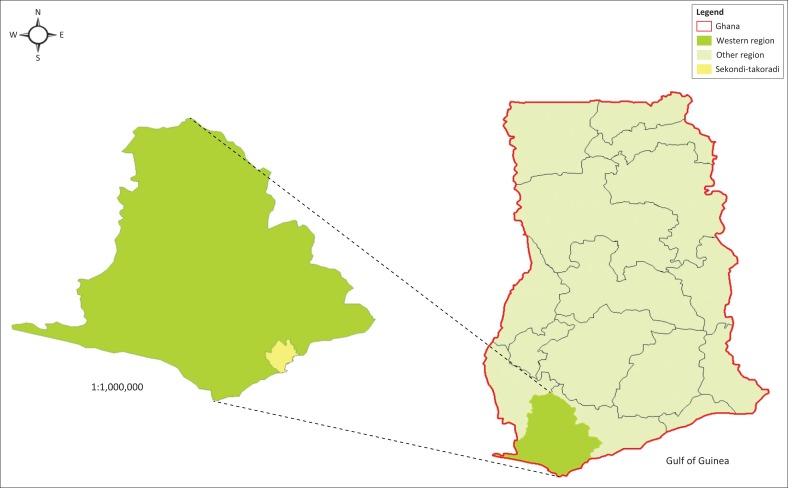
Using a pragmatic philosophical underpinning, this article analyses how land use planning actions and inactions contribute to flood risk creation in Sekondi-Takoradi, Ghana. In recent times, the planning system in Ghana has come under intense public criticism for failure to effectively control physical development in the major cities. The recurring flooding in the cities of Accra, Kumasi, Tamale and Sekondi-Takoradi seems to testify to this failure. Many lives and property have been lost through these flooding events in the country. This article argues from a disaster risk reduction point of view that the ineffectiveness in elementary processes of land use planning, such as delays in permit approval, inadequate monitoring and inspections, and lax enforcement of regulations, potentially creates flood risk. The rational of this study is therefore to bring to light the land use planning actions and inactions that create flood risk in Sekondi-Takoradi exposing urban dwellers to flooding. Because of the article's pragmatic underpinning, a mixed-methods case study approach was adopted for this investigation. Both survey and interview data were collected from homeowners and planning institutions in Sekondi-Takoradi to ascertain how land use control practices seem to be contributing to flood risk in the municipality. The analyses comprised simple statistical analysis of the survey data in Statistical Package for the Social Sciences (SPSS) and thematic analyses of the interview data. The findings reveal that institutional incapacities have resulted in delays in permit approvals, non-compliance with permit regulations, uncontrolled conversion of vegetated land, lax monitoring and inspections of physical developments and poor enforcement. These institutional challenges have emboldened prospective land developers and homeowners to flout building and land use regulations. This has led to the building of residential properties in swamps, waterways and other flood-prone locations, creating flood risk.
本文以实用主义哲学为基础,分析了加纳塞康第 - 塔科拉迪的土地利用规划行动与不作为如何导致洪水风险的产生。近年来,加纳的规划体系因未能有效控制主要城市的实体开发而受到公众的强烈批评。阿克拉、库马西、塔马利和塞康第 - 塔科拉迪等城市频繁发生的洪水似乎证明了这一失败。在该国,许多生命和财产因这些洪水事件而损失。本文从减少灾害风险的角度认为,土地利用规划基本流程的无效性,如许可证审批延迟、监测和检查不足以及法规执行宽松,可能会造成洪水风险。因此,本研究的目的是揭示在塞康第 - 塔科拉迪造成洪水风险并使城市居民面临洪水威胁的土地利用规划行动与不作为。由于本文基于实用主义,因此采用了混合方法案例研究方法进行此项调查。从塞康第 - 塔科拉迪的房主和规划机构收集了调查和访谈数据,以确定土地使用控制措施似乎如何导致该市的洪水风险。分析包括在社会科学统计软件包(SPSS)中对调查数据进行简单统计分析以及对访谈数据进行主题分析。研究结果表明机构能力不足导致许可证审批延迟、不遵守许可证规定、植被土地的无控制转换、对实体开发的监测和检查宽松以及执法不力。这些机构挑战使潜在的土地开发商和房主有恃无恐地无视建筑和土地使用法规。这导致在沼泽、水道和其他易发生洪水的地点建造住宅物业,从而产生洪水风险。