Chen Wenbo, Wang Dongliang, Xie Xiaowei
Key Laboratory of Land Surface Pattern and Simulation, Institute of Sciences and Natural Resources Research, Chinese Academy of Sciences, Beijing 100101, China.
School of Surveying and Geoinformation Engineering, East China University of Technology, Nanchang 330013, China.
Animals (Basel). 2025 Jun 18;15(12):1794. doi: 10.3390/ani15121794.
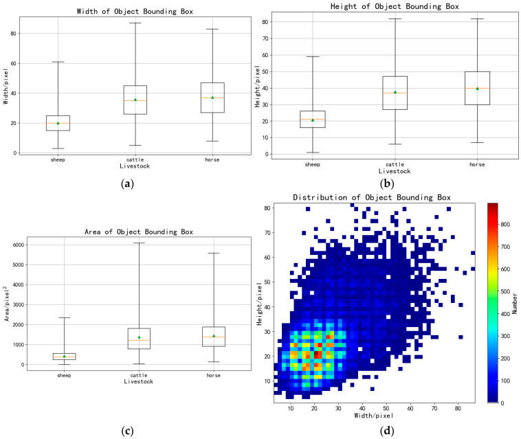
Livestock population surveys are crucial for grassland management tasks such as health and epidemic prevention, grazing prohibition, rest grazing, and forage-livestock balance assessment. These tasks are integral to the modernization and upgrading of the livestock industry and the sustainable development of grasslands. Unmanned aerial vehicles (UAVs) provide significant advantages in flexibility and maneuverability, making them ideal for livestock population surveys. However, grazing livestock in UAV images often appear small and densely packed, leading to identification errors. To address this challenge, we propose an efficient Livestock Network (LSNET) algorithm, a novel YOLOv7-based network. Our approach incorporates a low-level prediction head (P2) to detect small objects from shallow feature maps, while removing a deep-level prediction head (P5) to mitigate the effects of excessive down-sampling. To capture high-level semantic features, we introduce the Large Kernel Attentions Spatial Pyramid Pooling (LKASPP) module. In addition, we replaced the original CIoU with the WIoU v3 loss function. Furthermore, we developed a dataset of grazing livestock for deep learning using UAV images from the Prairie Chenbarhu Banner in Hulunbuir, Inner Mongolia. Our results demonstrate that the proposed module significantly improves the detection accuracy for small livestock objects, with the mean Average Precision (mAP) increasing by 1.47% compared to YOLOv7. Thus, this work offers a novel and practical solution for livestock detection in expansive farms. It overcomes the limitations of existing methods and contributes to more effective livestock management and advancements in agricultural technology.
牲畜数量调查对于草地管理任务至关重要,如健康与防疫、禁牧、休牧以及草畜平衡评估等。这些任务是畜牧业现代化升级和草地可持续发展不可或缺的部分。无人机在灵活性和机动性方面具有显著优势,使其成为牲畜数量调查的理想选择。然而,无人机图像中的放牧牲畜往往显得小且密集,容易导致识别错误。为应对这一挑战,我们提出了一种高效的牲畜网络(LSNET)算法,这是一种基于YOLOv7的新型网络。我们的方法引入了一个低级预测头(P2),用于从浅层特征图中检测小目标,同时去除一个深层预测头(P5),以减轻过度下采样的影响。为了捕捉高级语义特征,我们引入了大核注意力空间金字塔池化(LKASPP)模块。此外,我们用WIoU v3损失函数取代了原来的CIoU。此外,我们利用内蒙古呼伦贝尔陈巴尔虎旗草原的无人机图像开发了一个用于深度学习的放牧牲畜数据集。我们的结果表明,所提出的模块显著提高了对小牲畜目标的检测精度,与YOLOv7相比,平均精度均值(mAP)提高了1.47%。因此,这项工作为广阔农场中的牲畜检测提供了一种新颖且实用的解决方案。它克服了现有方法的局限性,有助于更有效地进行牲畜管理和推动农业技术进步。