Racoviteanu Adina E, Williams Mark W, Barry Roger G
Department of Geography, University of Colorado, UCB 260, Boulder CO, 80309, USA.
Institute of Arctic and Alpine Research, University of Colorado, UCB 450, Boulder CO, 80309, USA.
Sensors (Basel). 2008 May 23;8(5):3355-3383. doi: 10.3390/s8053355.
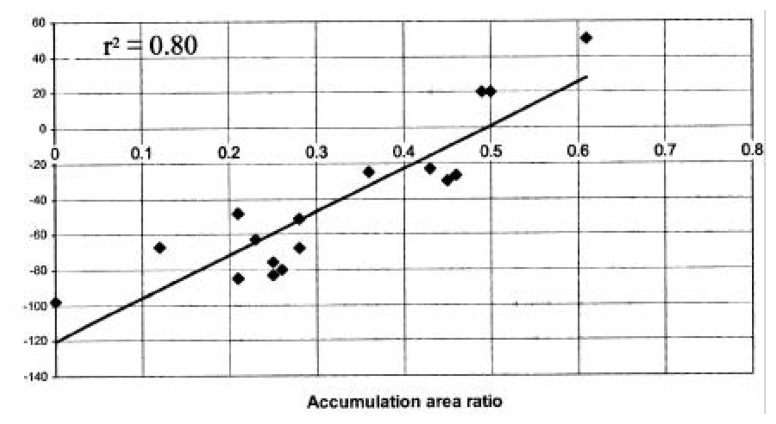
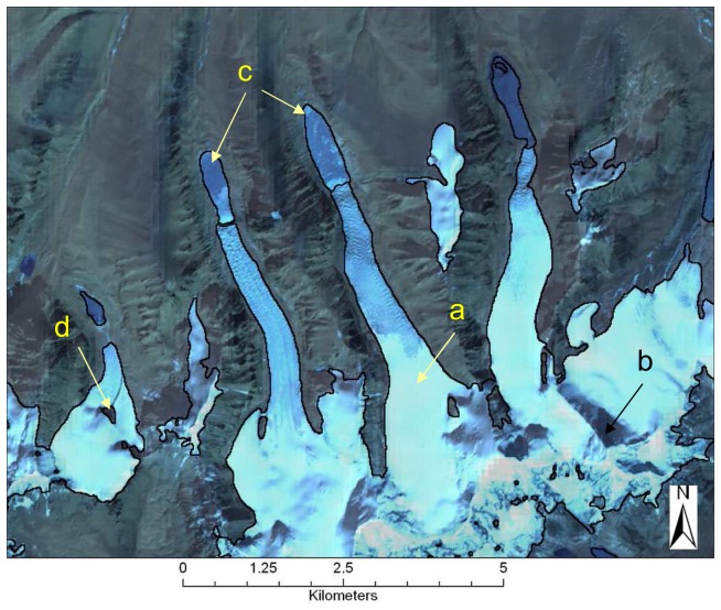
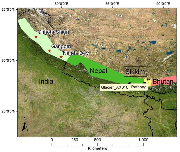
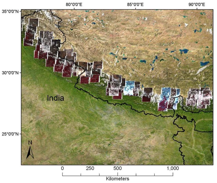
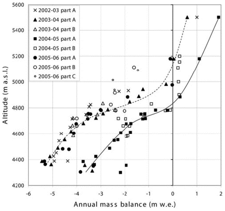
The increased availability of remote sensing platforms with appropriate spatial and temporal resolution, global coverage and low financial costs allows for fast, semi-automated, and cost-effective estimates of changes in glacier parameters over large areas. Remote sensing approaches allow for regular monitoring of the properties of alpine glaciers such as ice extent, terminus position, volume and surface elevation, from which glacier mass balance can be inferred. Such methods are particularly useful in remote areas with limited field-based glaciological measurements. This paper reviews advances in the use of visible and infrared remote sensing combined with field methods for estimating glacier parameters, with emphasis on volume/area changes and glacier mass balance. The focus is on the Advanced Spaceborne Thermal Emission and Reflection Radiometer (ASTER) sensor and its applicability for monitoring Himalayan glaciers. The methods reviewed are: volumetric changes inferred from digital elevation models (DEMs), glacier delineation algorithms from multi-spectral analysis, changes in glacier area at decadal time scales, and AAR/ELA methods used to calculate yearly mass balances. The current limitations and on-going challenges in using remote sensing for mapping characteristics of mountain glaciers also discussed, specifically in the context of the Himalaya.
具有适当空间和时间分辨率、全球覆盖范围且成本低廉的遥感平台越来越多,这使得大面积冰川参数变化能够得以快速、半自动且经济高效地估算。遥感方法能够定期监测高山冰川的特性,如冰面范围、末端位置、体积和表面高程,据此可推断冰川物质平衡情况。此类方法在实地冰川学测量有限的偏远地区尤为有用。本文综述了可见光和红外遥感结合实地方法在估算冰川参数方面的进展,重点关注体积/面积变化和冰川物质平衡。重点是先进星载热发射和反射辐射计(ASTER)传感器及其在监测喜马拉雅冰川方面的适用性。所综述的方法包括:从数字高程模型(DEM)推断体积变化、多光谱分析的冰川勾勒算法、十年时间尺度上的冰川面积变化,以及用于计算年度物质平衡的AAR/ELA方法。还讨论了利用遥感绘制山地冰川特征目前存在的局限性和持续面临的挑战,特别是在喜马拉雅地区的背景下。