Institut de Physique Théorique, CEA, CNRS-URA 2306, F-91191, Gif-sur-Yvette, France.
Sci Rep. 2013;3:2153. doi: 10.1038/srep02153.
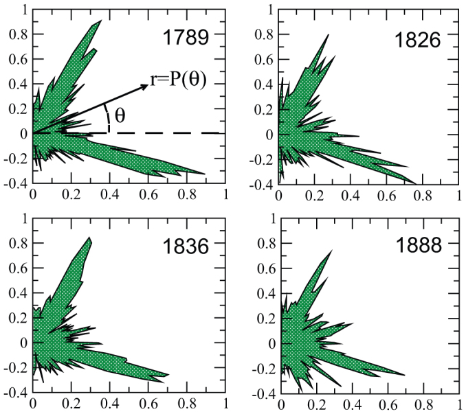
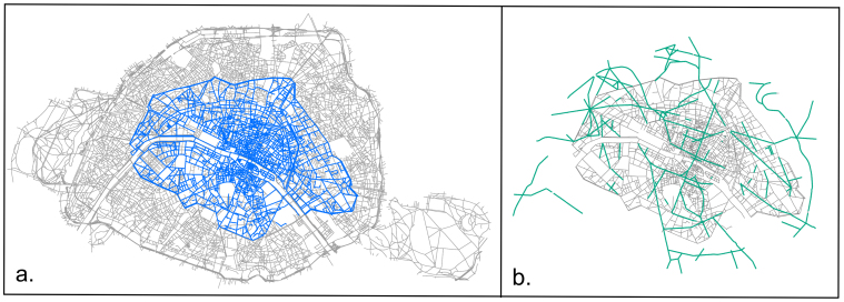
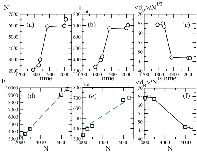
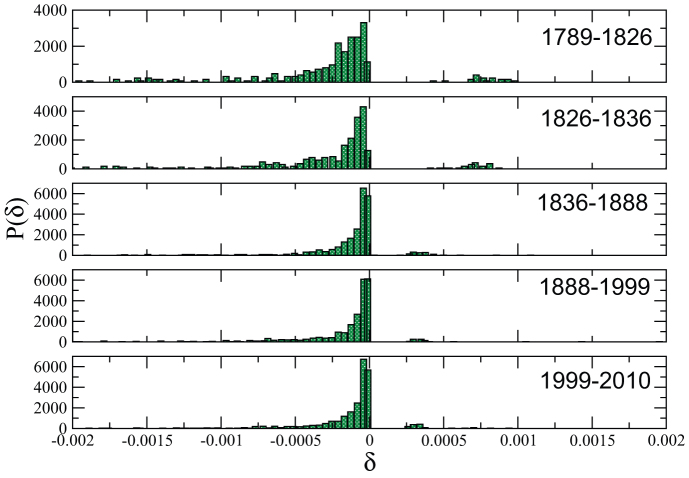
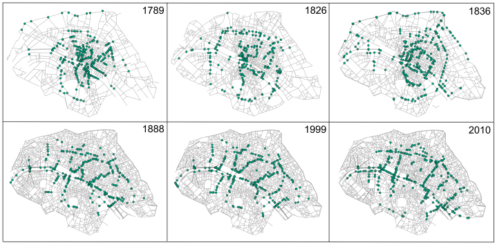
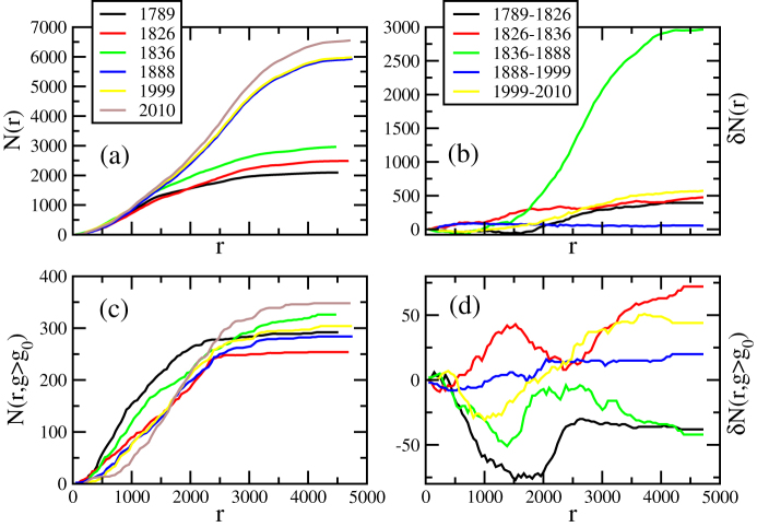
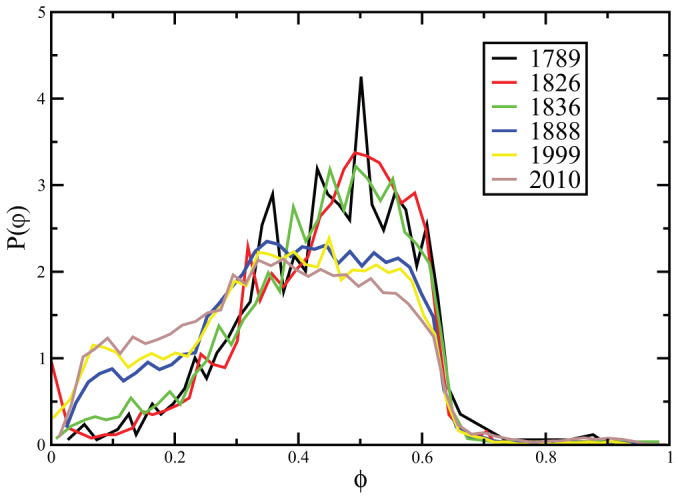
Interventions of central, top-down planning are serious limitations to the possibility of modelling the dynamics of cities. An example is the city of Paris (France), which during the 19th century experienced large modifications supervised by a central authority, the 'Haussmann period'. In this article, we report an empirical analysis of more than 200 years (1789-2010) of the evolution of the street network of Paris. We show that the usual network measures display a smooth behavior and that the most important quantitative signatures of central planning is the spatial reorganization of centrality and the modification of the block shape distribution. Such effects can only be obtained by structural modifications at a large-scale level, with the creation of new roads not constrained by the existing geometry. The evolution of a city thus seems to result from the superimposition of continuous, local growth processes and punctual changes operating at large spatial scales.
中央、自上而下的规划干预严重限制了城市动态建模的可能性。一个例子是法国巴黎市,它在 19 世纪经历了由中央当局主导的大规模改造,即“奥斯曼时期”。在本文中,我们报告了对巴黎街道网络 200 多年(1789-2010 年)演变的实证分析。我们表明,常用的网络度量显示出平滑的行为,而中央规划的最重要的定量特征是中心性的空间重新组织和街区形状分布的修改。这些效应只能通过在大尺度上进行结构修改来获得,即创建不受现有几何形状限制的新路。因此,城市的演变似乎是由连续的、局部的增长过程和在大空间尺度上运作的点状变化叠加而成的。